ABOUT US

Accessible on desktop, tablet, or mobile

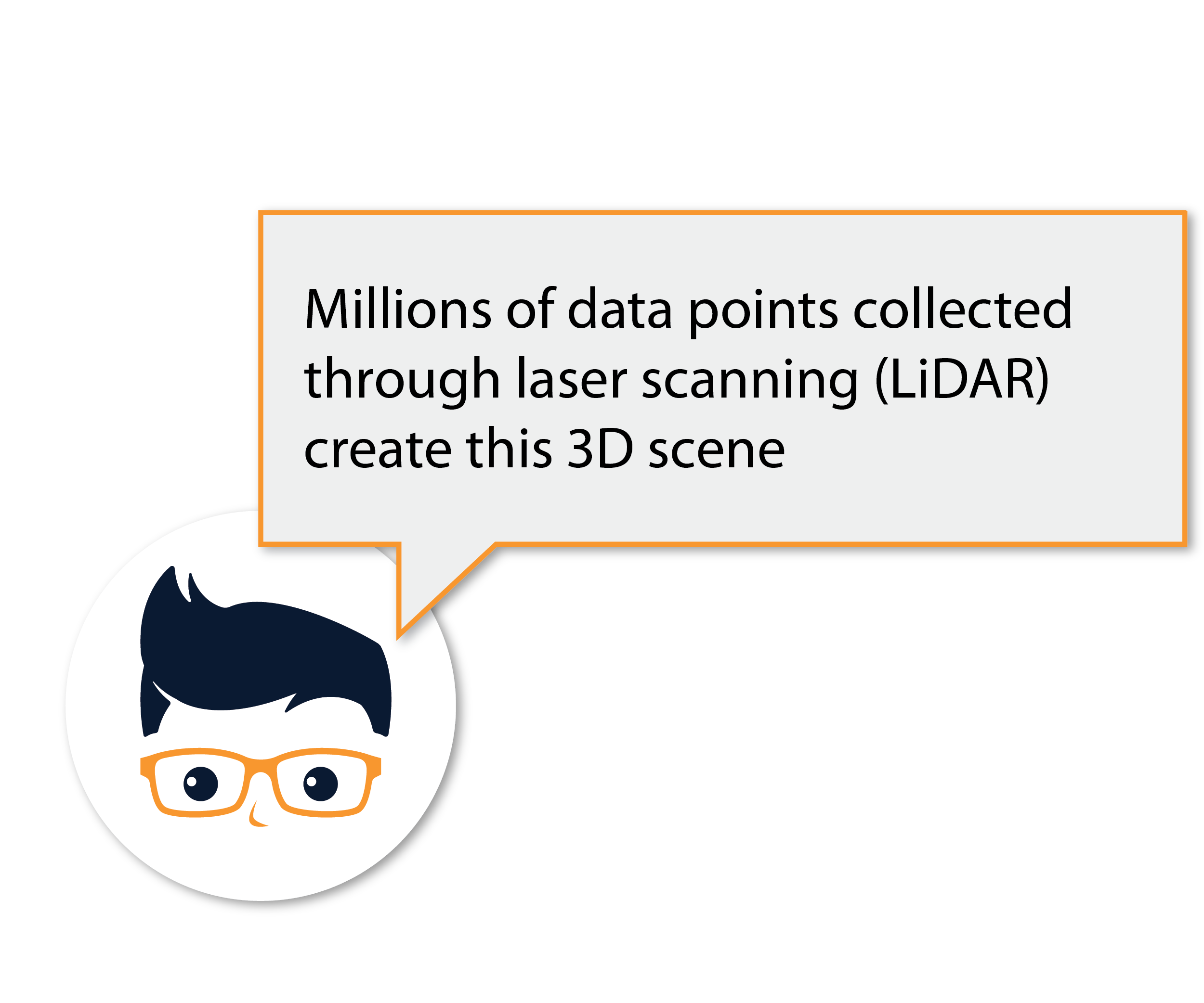
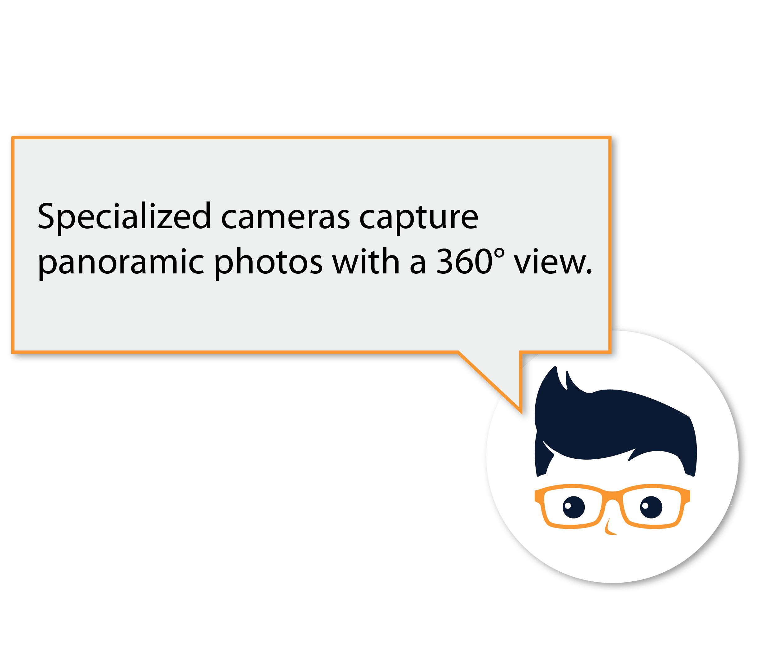
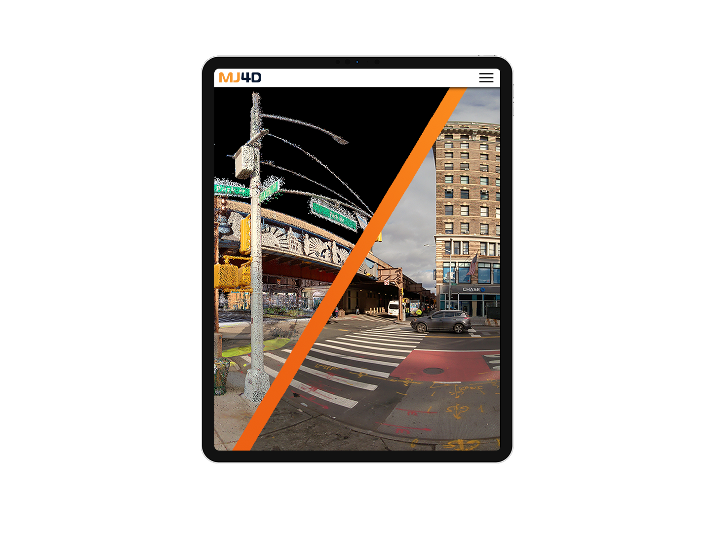
Immersive digital documentation using 3D LiDAR point clouds and 360-degree panoramic photos

Web app for exploring the digital twin of real-world places


Fast and easy access from a web browser with nothing to install

Ability to incorporate data from multiple sources simultaneously

Intuitive navigation of both outdoor and interior spaces

Software integrations: MicroStation, AutoCAD, ArcGIS, Google Earth


Engineers
Surveyors
GIS Professionals
Community Leaders
Community Planners
Facility Managers
Contractors / Fabricators
Law Enforcement


Collaborate
Coordination and visualization is seamless with the online viewer

Measure
Measure distances, heights, elevations and clearances with precision

Plan
Provide estimates and plan operations, maintenance, and project phasing

Archive
Archive pre and post construction, asset inventory and site documentation

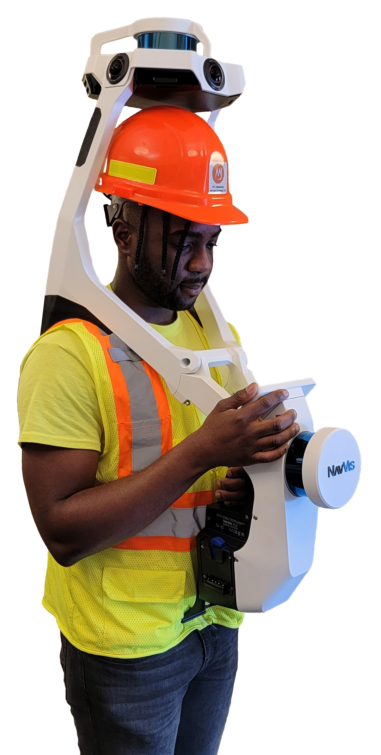
MJ owns and maintains the latest, technologically advanced survey equipment and software, which is continuously upgraded to maintain a competitive edge.
In addition to serving a wide variety of clientele, MJ4D is used by all MJ's in-house engineering disciplines.