Be there without being there.

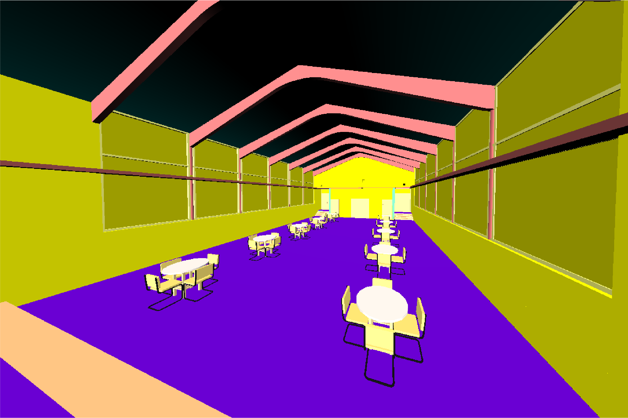
Explore a real-world digital twin directly from your web browser.
Learn More
WHAT IS MJ4D?
Phone, desktop and mobile phone illustration

Accessible on desktop, tablet, or mobile

Scanner vehicle collecting point cloud data

Immersive digital documentation using 3D LiDAR point clouds and 360-degree panoramic photos

Mobile web application on phone

Web app for exploring the digital twin of real-world places

Learn More
MJ4D IN ACTION
FEATURED PROJECTS
Learn how MJ4D has been utilized on unique AEC projects.
Middlebury Bridge & Rail Project
Around-the-Clock Construction Documentation
Washington Street School in Newburgh, NY
Developing an Accurate Model for Adaptive Reuse
State University of New York at Oneonta Accessibility Upgrades
Campus Mapping through UAV, Mobile LiDAR and Conventional Survey
NYC Subway: Broadway Junction Station Complex
Supporting a Large, Geographically Diverse Team in Collaborative Design
See More Projects